It’s true, friends. You will be able to get to more trails if you have a car. But if you are one of those people who are much kinder to the environment due to your lack of vehicle, the trails of the Bay Area are still open to you! Below are various trails you can reach using public transportation. As usual, check schedules, and if you have a smart phone with reception, use the handy real-time features so you aren’t trying to keep kids sitting on a bench for 30 minutes, waiting for a bus to show up.
First, a resource you should know about is Transit & Trails. I found it tough to navigate, so some much easier options will be shared below. But this resource DOES exist and can be used to help you figure out how to get to trail heads using public transportation. I also found this site, with a few more public transportation options to trails!
East Bay:
 Tilden Regional Park
AC Transit Line 65
Take the 65 to Grizzly Peak Rd, just past the Lawrence Hall of Science. At the corner of Grizzly Peak Rd, there is a gravel lot that serves as the trailhead for Redwood trail, Grizzly Peak trail and Selby trail (across the road). A 2+ mile loop can be made by going out on Redwood trail and coming back on Grizzly Peak.
AC Transit Line 67
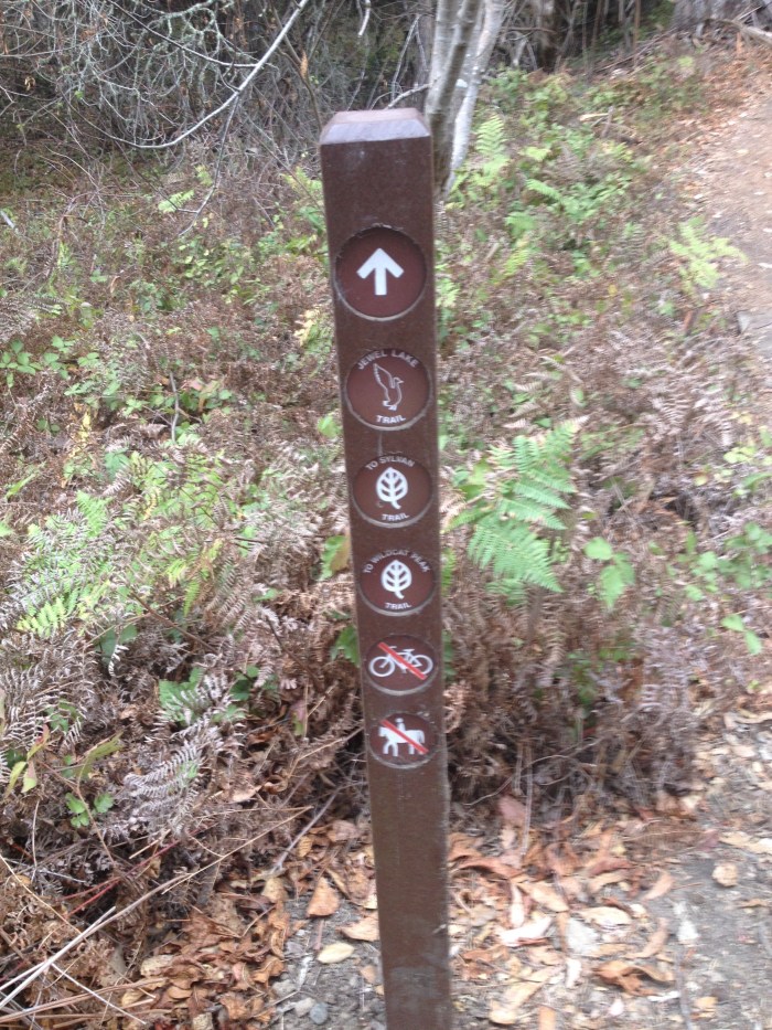
Your best bet is probably to get off at the Environmental Education Center, as you can easily reach the Little Farm, Jewel Lake, the Environmental Education Center itself, and a host of other trails (favorites of ours include Laurel Canyon, Wildcat Peak or Sylvan trail).
Claremont Canyon Regional Preserve
AC Transit Line 49
This will not be a solitary hike, and this is definitely a trail with a LOT of uphill, but if you have some hearty kiddos, the views in Claremont Canyon are stunning and not to be missed. (Claremont Canyon is the trail in the header image.)
Point Pinole Regional Shoreline
AC Transit Line 71
Point Pinole is beautiful– right next to the water and a variety of fairly flat trails to discover. You can take a shuttle on the weekend to the pier, or just wander along the water on the Bayview trail.
Joaquin Miller Park
AC Transit Line 339
Joaquin Miller is a delightful place to hike with kiddos. Jumping off at the Ranger Station/Visitor Center gives you several beautiful hikes (Sunset trail, Sequoia Bayview trail, and Fern Ravine are all worth exploring), and you could even hike up to the Chabot Space & Science Center on Skyline Boulevard and then catch the 339 home, letting you create your own point-to-point hike.
AC Transit Line 18
While Line 18 will not take you exactly to the trailhead of Sausal Creek, you can hop off as close to El Centro Ave as possible. El Centro Ave leads down two blocks to the trailhead to the Sausal Creek Watershed, which will also take you up to Joaquin Miller.
Mission Peak Regional Preserve
AC Transit Lines 210 & 217
While these lines end at Ohlone College, you can easily find Mission Peak Regional Preserve trails. Clearly the Peak trail heads up to Mission Peak (probably 3-3.5 strenuous miles to the Peak), but shorter options include Panorama trail, or Dry Creek Trail.
San Francisco
The Presidio
The Presidio is full of trails! You can even hike the Bay Area Ridge Trail or the California Coastal Trail– all without even needing to leave the city!
SF Muni Lines 28 or 28R go right through the Presidio– check out a map to figure out where to jump off to grab a trail. Line 43 will drop you off right near the start of Mountain Lake Trail or Lovers’ Lane.
Marin County
 Marin Headlands
Muni 76X
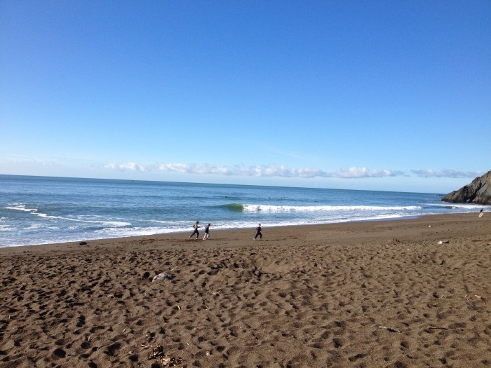
The 76X has limited service on weekends (again, check schedules and re-check schedules!) but it can take you all the way to Rodeo Beach. From Rodeo Beach, you have a multitude of trail options! Coastal trail leads up to sweeping views of the Pacific Ocean. If you want a more mellow option, you could wander across the sand and take the short trail alongside the lagoon. One could also make a trip to the Marine Mammal Center, and learn about the way this organization and its extensive network of volunteers rescue and rehabilitate injured sea mammals.
SF Peninsula
Pacifica
SamTrans Line 19
This bus line takes you to San Pedro County Park, which has a beautiful variety of trails. You can put together several different trail options, from a nice short hike to a more challenging push to the top of Montara Mountain, which will give you sweeping views up and down the coast.
San Jose
Valley Transit Authority (VTA) line 45
Ok. This might be a bit of a stretch– I would not ask a toddler to hop off the bus and then walk up to Alum Rock Park, but older kids could easily handle the stroll to the trail. However, the VTA does not seem intent on providing lots of public transportation to its trails.
So there you have it, my friends. Even in our car-focused world, it IS possible to take public transportation to a trailhead. I encourage you to add to this list by commenting– what other trailheads can you get to via public transportation? What have we missed?


